
Walk a Kane County Street
Begin with one complete address, including the municipality and street type. Kane County has city parcels, unincorporated pockets, and sixteen townships. The same postal city does not always identify the office that holds a permit or code file. A street directory search works best when each source has one job: GIS fixes the point, the tax inquiry supplies the parcel identification number and owner clue, and the Recorder supplies the instrument trail.
- Enter the street number and name in Kane County Property Tax Inquiry. Save the PIN, property class, township, owner name, situs address, and mailing address.
- Open KaneGIS4. Check the parcel outline, municipality, subdivision, nearby lots, and current map layers.
- Search both owner roles in the Kane Land Records Search. Compare the PIN and legal description before treating a deed as the same property.
- Use the Kane voter search with a last name and house number or street name. Its result is a registration clue, not a household roster.
- For an older household, consult the reverse street section in the relevant Aurora or Elgin directory. Record the edition and page.
This address-to-PIN-to-instrument chain limits false matches. It also makes gaps plain. A person who owns a parcel may live elsewhere, while a person listed in a directory may never appear on the deed.
Kane County Street Record Layers
No single Kane County street directory names all occupants. These address-keyed sources answer narrower questions and update on different schedules.
| Address source | Custodian | Useful result | Access route |
|---|---|---|---|
| Property and tax roll | County Assessor and township assessors | PIN, owner, situs, mailing address, sale and tax history | Free DevNet inquiry; township office fallback |
| Parcel geography | Kane County GIS | Parcel outline, subdivision, aerial and zoning context | Free KaneGIS4 viewer; GIS staff and data request |
| Recorded instruments | Recorder of Deeds | Grantor, grantee, instrument date, legal description | Free index; six office computers, books and microfilm |
| Voter status | Kane County Clerk | Registration status, precinct, polling place and districts | Limited public lookup; Clerk contact route |
| Permit and code trail | City or county building office | Address, project, applicant, inspection or case date | City portal, clerk request, or county office |
DevNet says its tax-history display reaches back to 2004. The Recorder's archive begins in 1837, but its computer and imaging span starts in 1977. Earlier street work therefore moves from the web to tract books, grantor and grantee books, microfilm, and staff research in Geneva.
Search Kane County by Address
DevNet accepts several paths into the same tax roll. Start narrowly with an address, then use broader filters only when a street spelling or city label fails. Search results can be downloaded, printed, and mapped, but the site warns that the information carries no warranty.
| Search control | Format and use |
|---|---|
| Parcel Number | PIN text, with an Include All Taxing Districts option |
| Owner Name | Last name, first name, or corporation |
| Property Address | House number range, direction, street name and type, unit, city and ZIP |
| Sale Search | Sale date and price ranges plus property filters |
| Advanced filters | Tax year, township, tax district, subdivision and property class |
Save the situs and mailing labels exactly as shown. Situs means the physical parcel address. The mailing label is where the tax notice goes and may be different. The PIN is usually the safest bridge to GIS and deeds.
Map Kane County Street Parcels
KaneGIS4 adds the shape and setting that a text result cannot show. Search by parcel, address, subdivision, condominium, or tax map. Map, Aerial, and Hybrid views help test whether a point falls inside a city or an unincorporated area. PinInfo exposes parcel details, while zoning and aerial layers add context. The county warns that GIS is not a survey and that property lines shown on screen are approximate.
The Kane GIS accuracy guidance explains those limits before a street search is treated as a boundary finding.
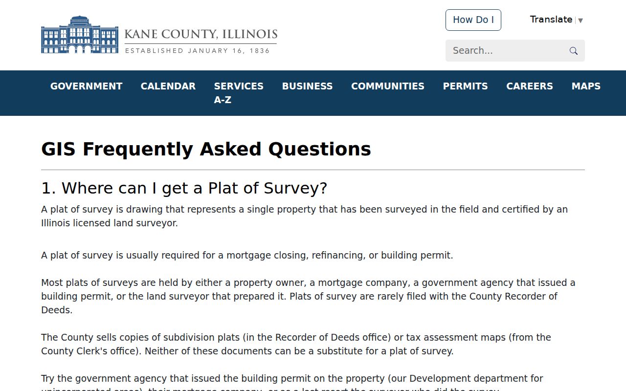
The captured guidance is a useful brake on overclaiming: use the viewer to locate and compare parcels, then rely on a plat or survey for a legal boundary.
- Parcel
- A mapped unit of land identified for tax and record purposes.
- Situs address
- The physical location assigned to the parcel, distinct from its tax mailing address.
- Plat
- A recorded drawing that divides or describes land.
- Criss-cross directory
- A directory arranged by street and house number rather than surname.
Define Nearby Kane County Parcels
The county's Buffer tool turns a vague idea such as “near this house” into a stated distance. Enter an address or PIN, set Buffer Dist, and use Mail to produce the nearby parcel mailing list. Then carry each returned PIN into DevNet for the owner clue. That handoff matters because the first output is a mailing-address list, not a verified list of residents.
The official Kane buffer instructions show the exact local sequence.
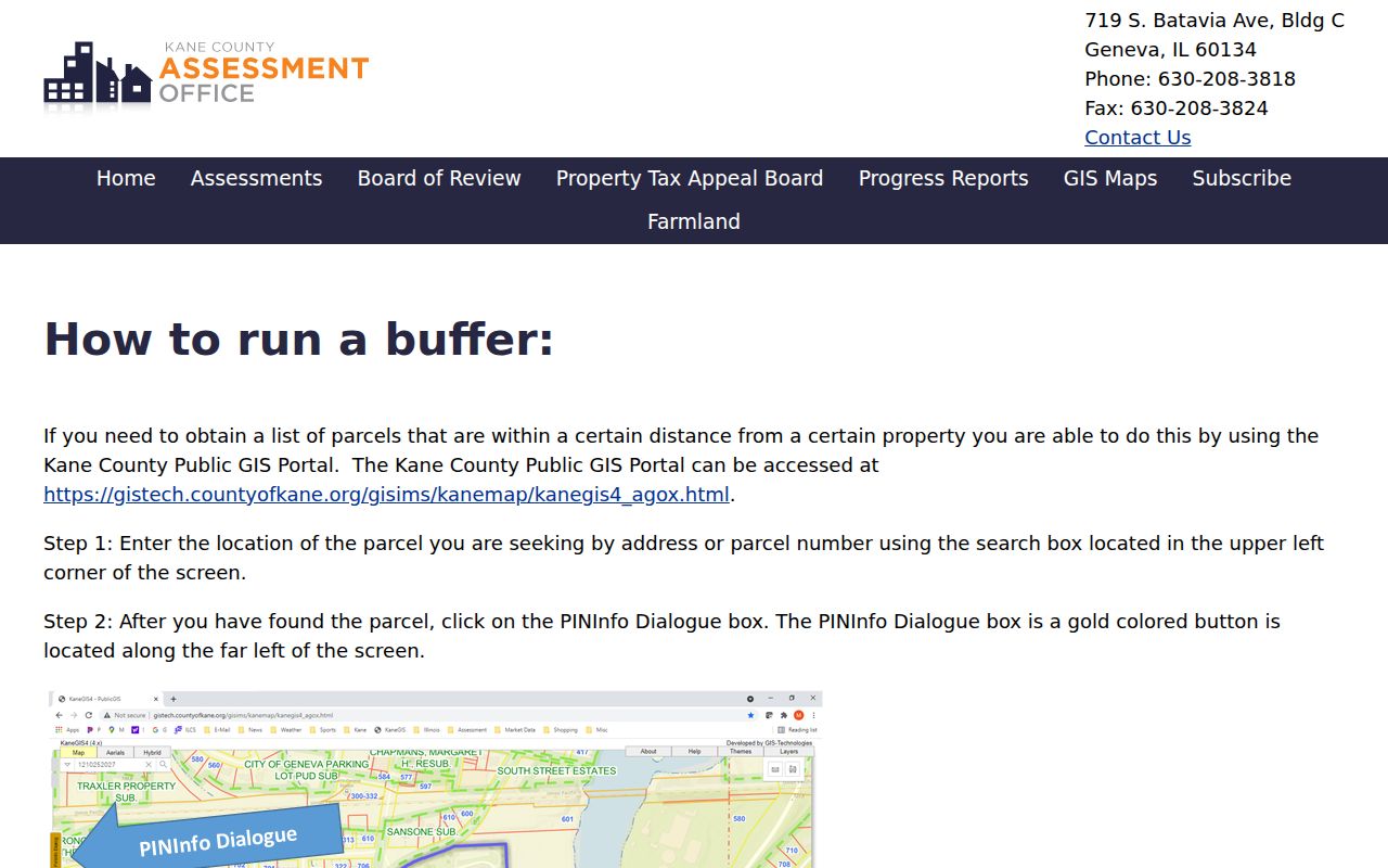
This capture shows why every result needs a radius, source date, and role label. A nearby tax-mail recipient is not automatically a nearby occupant.
Insider tip. Keep the returned PINs before leaving the map; they are the cleanest keys for checking owners in DevNet.
Kane County Streets Change Names
A modern house number can fail in an old street directory even when the building never moved. Aurora carried out a mass renumbering in 1928, and its 1929 directory includes an old-to-new conversion index. Elgin changed addresses in the 1870s, 1884, and 1895. One Elgin building may therefore have three historic numbers. Compare a directory edition with Sanborn maps, an abstract of title, and a same-period newspaper.
The City of Elgin house-research advice treats old numbers as a core search field.
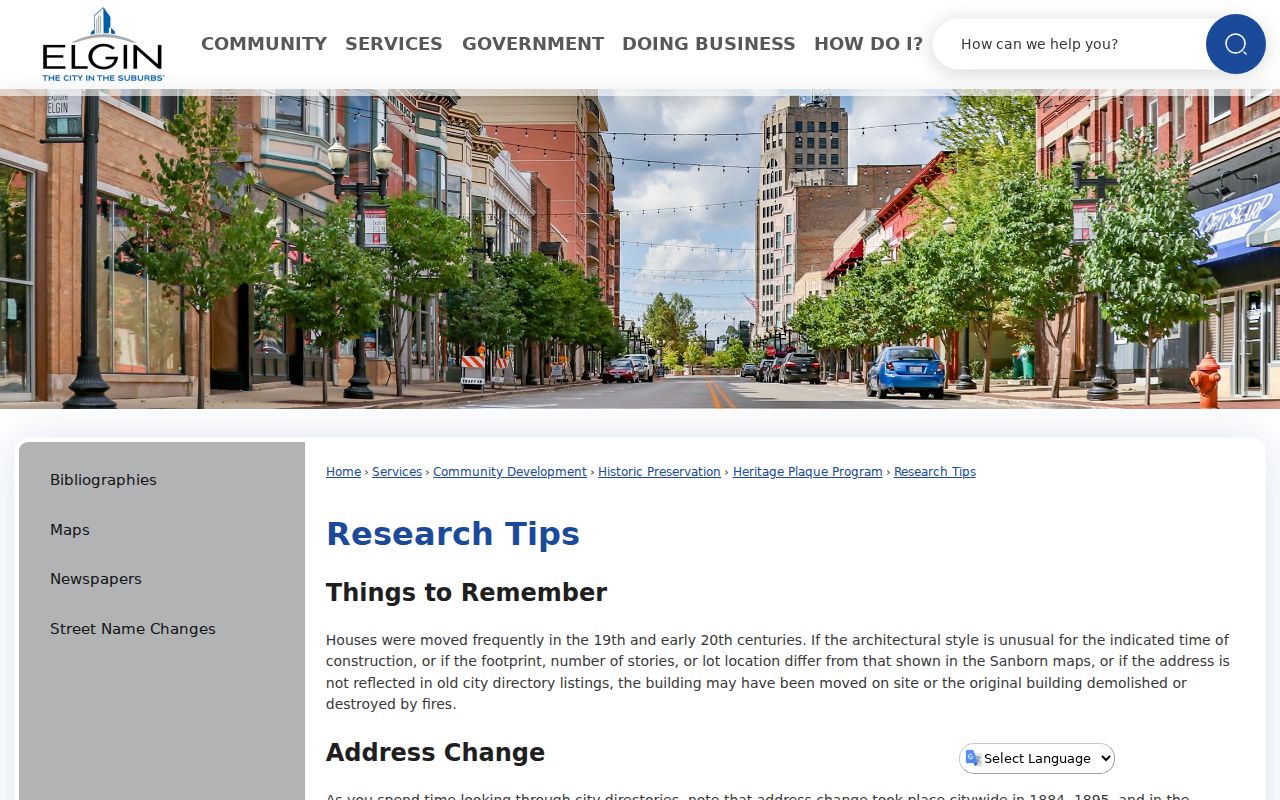
The city guidance also notes that a building may have moved or been destroyed, so a name mismatch should be tested against the footprint and source year.
A smaller Kane County example is just as useful. A 2007 county resolution changed a duplicate Fieldstone Drive in Blackberry Township's Mill Creek subdivision to Fieldstone Lane and directed that the action be recorded. Old deeds and today's map may use different labels for the same place.
Kane County Permits by Street
Permit jurisdiction follows the parcel, not merely the postal city. Aurora eTRAKiT offers permit, project, inspection, fee, and code-violation actions. Elgin's portal can search by address, application number, parcel number, or name; Address mode exposes Street Number and Street Name. Unincorporated construction, remodel, repair, and demolition work routes to Kane County Building and Zoning.
The Aurora eTRAKiT portal is the address-based city route.
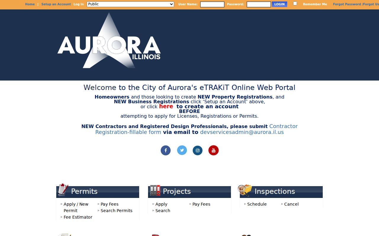
Its tabs distinguish applications, projects, inspections, and code records, which helps keep an address event separate from proof of residence.
The Elgin permit search gives a second municipal path.
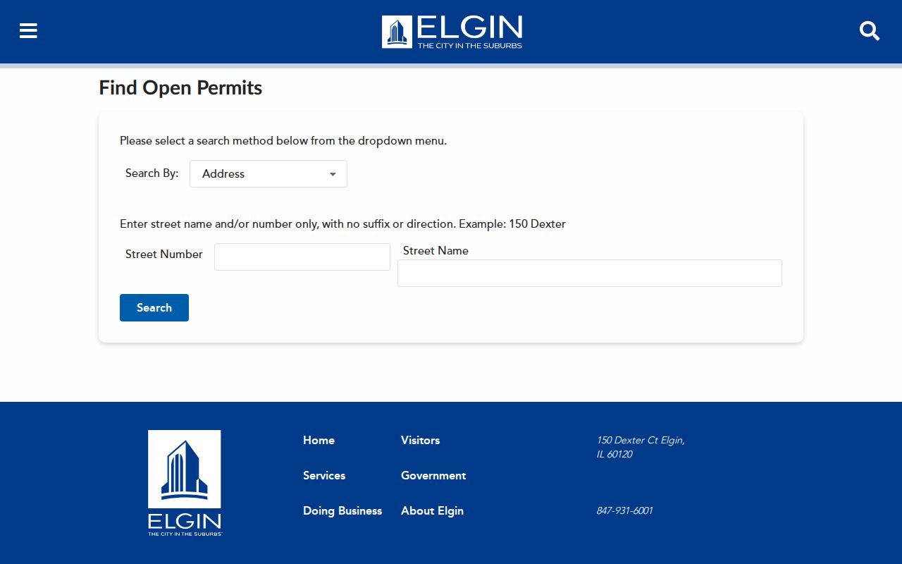
The captured form shows the address fields to preserve in a request if the live results are incomplete.
For land outside a city, consult Kane County Building and Zoning.
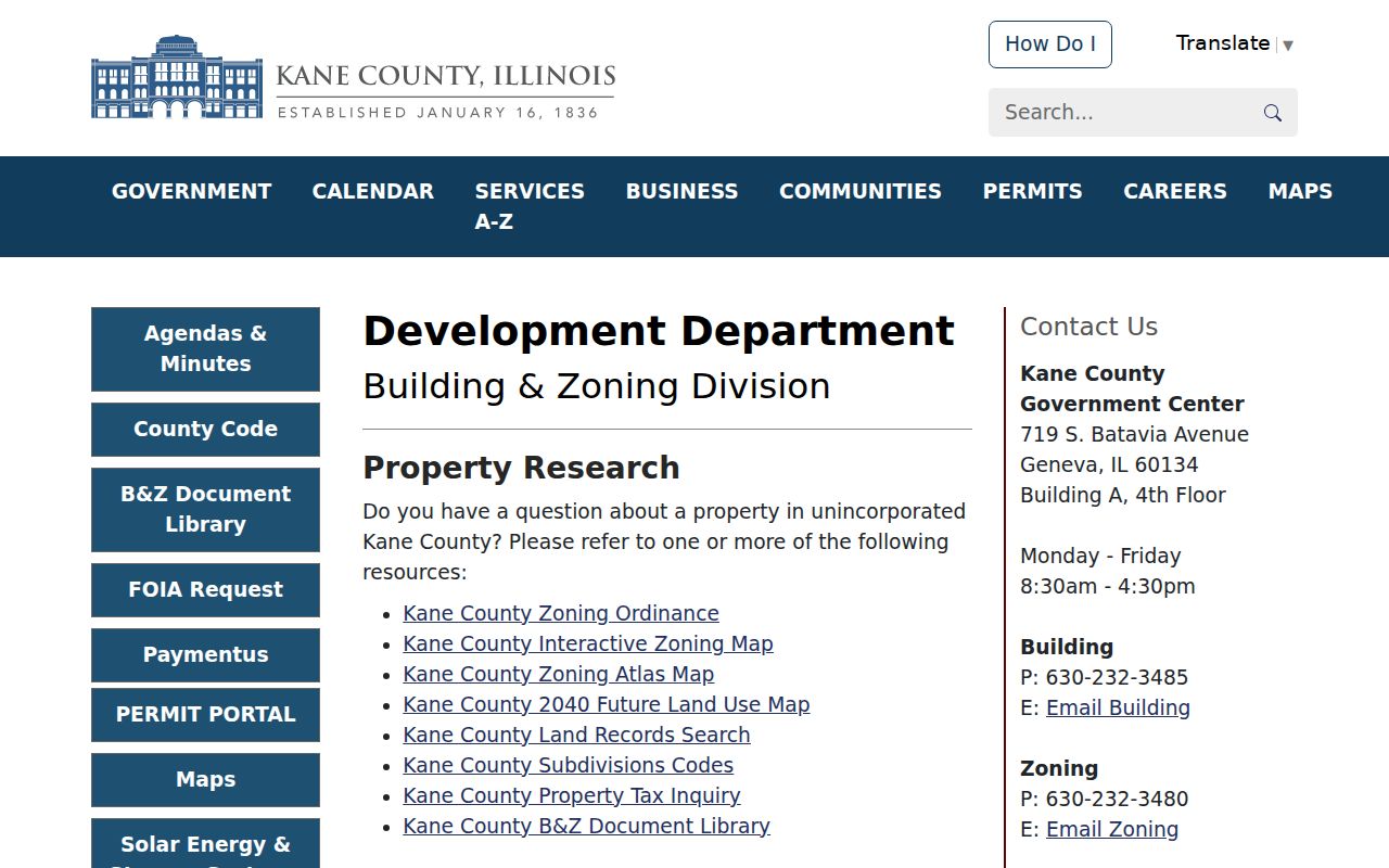
This county route prevents an empty city search from being mistaken for proof that no permit exists.
Older Kane County Street Directories
Aurora Public Library holds directories from 1858/59 to the present with gaps, and reverse street sections begin in 1895/96. Gail Borden Public Library lists Elgin directories from 1875 forward and Kane County volumes from the mid-1800s. These shelves can supply a named householder between deed transfers. They do not turn every household member into a verified resident.
Record the year, title, page, spelling, and abbreviation key. For a full account of the collections, publishers, maps, and reading method, use the Kane County city directories. If a volume is unavailable online, ask the library desk, historical society, museum, NARA, or the archive holding that edition.
Kane County Street Directory Limits
Address records do not form a current census. DevNet focuses on parcels and taxpayers. A deed shows a legal interest at the recording date. The public voter search is limited and Illinois law protects sensitive voter fields. Driver and vehicle address data are restricted, utility customer lists were not found as a public countywide source, and protected court or vital records remain closed.
Publish only the least detail needed for a lawful personal purpose. Give the custodian, record date, and role, such as owner, grantee, applicant, or directory householder. Mark an unconfirmed match as unresolved. The Illinois Address Confidentiality Program can provide a substitute address to qualifying survivors, though it cannot erase records already public and cannot guarantee property-record confidentiality.
When an online search fails, keep the fallback tied to the record type. Ask a township assessor about the initial assessment, GIS staff about the mapped parcel, the city clerk for a defined permit or code file, and the Recorder for older books or microfilm. A written Illinois Freedom of Information Act request can seek an existing, well-described municipal or county record, but it does not require an office to create a new list. Include the address, PIN, record type, and date range. That narrow request is more useful than asking for every person linked with an entire road.
Lawful use. Kane County street records may support family, property, and civic research. Never use an address trail to stalk, harass, threaten, or harm anyone.