
Kane County ZIP Directory Coverage
Kane County's working postal list includes standard routes, limited or PO Box labels, a unique label, and routes that only partly intersect the county. “Common postal label” means the city name normally associated with delivery research. It does not mean the whole ZIP lies inside that city. The table groups all ZIPs supported by the official county-map and postal-format research; an individual address still needs USPS and parcel verification.
| ZIP | Areas Covered | Post Office Label | Notes |
|---|---|---|---|
| 60010 | Northeast edge | Barrington | Standard; partial county intersection |
| 60102 | North Kane vicinity | Algonquin | Standard |
| 60109 | Burlington area | Burlington | PO Box or limited delivery |
| 60110 | Carpentersville area | Carpentersville | Standard |
| 60118 | Dundee area | Dundee | Standard |
| 60119 | Elburn area | Elburn | Standard |
| 60120, 60123, 60124 | Elgin area | Elgin | Standard routes |
| 60121 | Elgin postal service | Elgin | PO Box or limited delivery |
| 60134 | Geneva area | Geneva | Standard |
| 60136, 60140, 60142 | Gilberts, Hampshire, Huntley areas | Matching postal labels | Standard |
| 60144, 60147 | Kaneville and Lafox | Matching postal labels | PO Box or limited delivery |
| 60151 | Maple Park area | Maple Park | Standard |
| 60174, 60175 | St. Charles area | St Charles | Standard |
| 60177 | South Elgin area | South Elgin | Standard |
| 60178 | Western edge | Sycamore | Standard; partial county intersection |
| 60183 | Wasco area | Wasco | PO Box or limited delivery |
| 60184 | Wayne area | Wayne | Standard |
| 60502, 60504, 60505, 60506 | Aurora area | Aurora | Standard routes |
| 60507 | Aurora postal service | Aurora | PO Box or limited delivery |
| 60510, 60511 | Batavia and Big Rock areas | Matching postal labels | Standard |
| 60520 | Southwest edge | Hinckley | Standard; partial county intersection |
| 60538, 60539, 60542, 60554 | Montgomery, Mooseheart, North Aurora, Sugar Grove | Matching postal labels | Standard |
| 60568 | Aurora limited label | Aurora | Unique or limited; verify with USPS |
The ZIP code directory deliberately avoids claiming exact municipal polygons. USPS delivery routes change and may cross civil lines. County program maps also serve their own purpose. Save the date of any point lookup.
Kane County ZIP Codes Deliver Mail
A common myth treats ZIP boundaries as city or county limits. ZIPs route mail. A Kane County mailing city can be different from the municipality, township, school district, fire district, or court jurisdiction attached to the parcel. Barrington, Sycamore, and Hinckley labels are especially important reminders because the working list marks only partial county intersections.
Use the city name as a postal field, not a legal conclusion. Kane's historic Fox River cities also share dense nearby delivery geography, while western township routes can cover broad rural areas. The county seat is Geneva, yet records for an Aurora or Elgin address may branch to a city library or local permit office after the county parcel is confirmed.
Boundary check. A ZIP result describes delivery. KaneGIS4 and the relevant city or county office determine the physical and civil record geography.
Search Kane County Postal Labels
The USPS ZIP Code Lookup has three useful modes. By Address requires street address, city, and state; company, unit, and ZIP are optional. By City and State returns postal codes associated with that label. Cities by ZIP reverses the question. USPS warns that a result does not confirm a person or company at the address.
| Field or Mode | Required Input | Best Kane Use |
|---|---|---|
| By Address | Street, city, state | Confirm one delivery label and ZIP |
| Company or unit | Optional | Refine a multi-unit or named delivery point |
| By City and State | City and Illinois | See ZIPs tied to a postal city |
| Cities by ZIP | Five-digit ZIP | Check the recognized postal labels |
| Find | Completed required fields | Run the current USPS query |
Copy the standardized output exactly. Do not turn it into evidence that a named resident or business is present. USPS solves the delivery question; Kane records solve ownership, voting geography, or a filed public event.
Kane County ZIP Plus Four Detail
The USPS AIS Viewer adds an address-quality layer. Its monthly interface can filter City/State, Delivery Type, and County Name, then display delivery statistics and ZIP+4 detail. Address Lookup can expose a five-digit ZIP, ZIP+4, carrier route, county, delivery point, and check digit. Most AIS products require a paid subscription, and the interface says encrypted data cannot be exported.
The official AIS overview shown here is the only successful image assigned to the Kane County ZIP code directory.
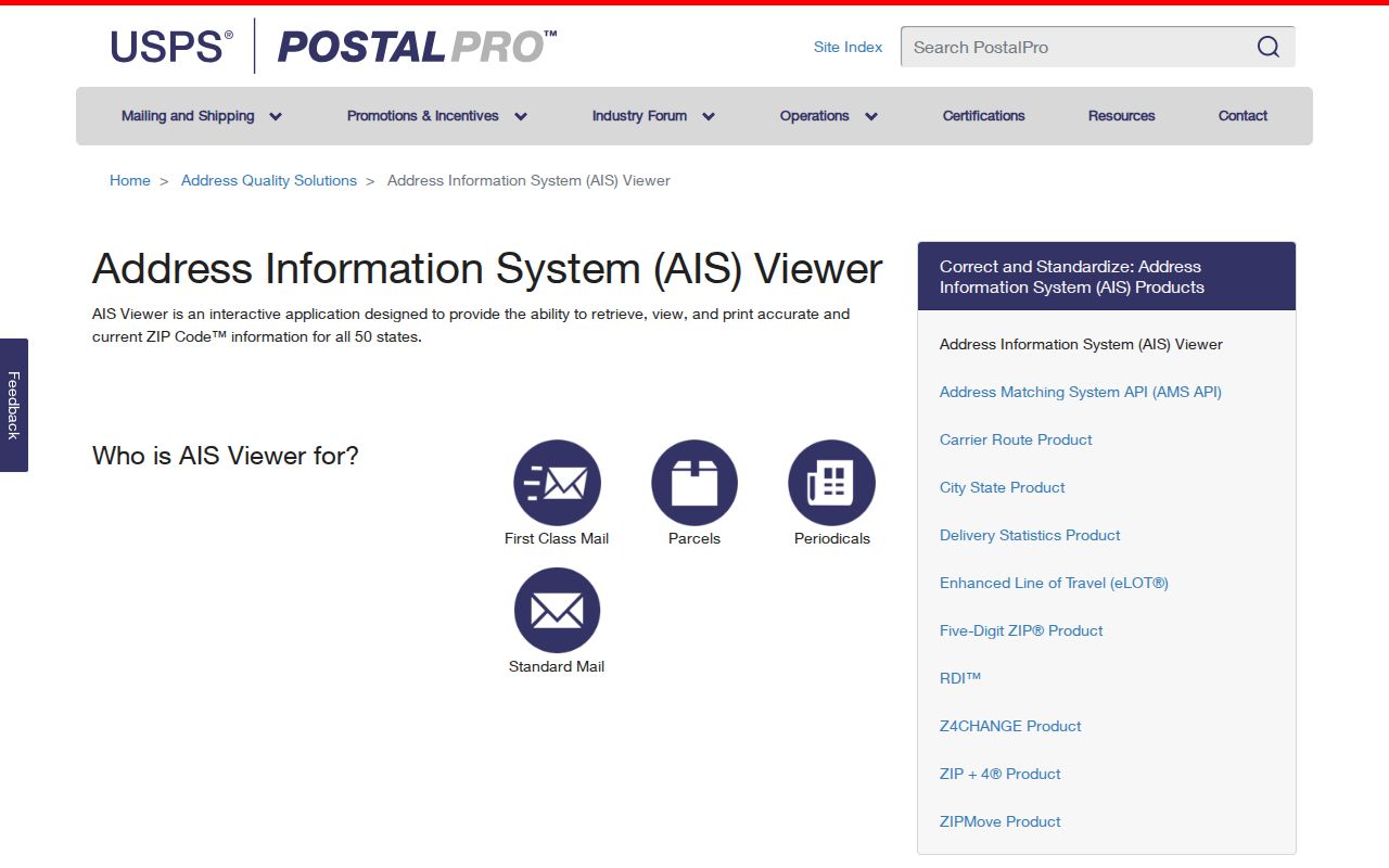
The screen documents the postal tool, not a county boundary map. A carrier route is a mail-delivery unit and should never be presented as a neighborhood roster.
Find Kane County Residents by ZIP
No researched Kane County portal offered a dedicated public ZIP-wide resident filter. DevNet accepts city, street, house number, parcel, owner, sale, township, district, subdivision, property class, and tax year, but its observed form had no ZIP field. The county voter lookup uses last name plus house number or street name. The lawful workflow must therefore start with an address or named person, not an exported ZIP roster.
- Use USPS to confirm the five-digit delivery code for a specific address or check recognized cities for a ZIP.
- Locate the address in KaneGIS4. Record the parcel, municipality, county line, and map date.
- Open DevNet Property Tax Inquiry with the address or PIN. Keep tax-roll owner, situs, and mailing address distinct.
- Use the voter lookup or another official index only for a named, legitimate question. Respect its restricted fields and use rules.
- Once the ZIP has narrowed the area, use the Kane County by-street directory for address-level methods.
This sequence trades a false ZIP-wide list for a source trail that can be checked. It also avoids confusing a mailing ZIP on an owner's tax address with the ZIP of the parcel itself.
Kane County ZIP Delivery Types
The working list records several kinds of delivery labels. The type tells the searcher how mail is routed. It does not rank a place or define access to Kane County records. Limited labels such as Burlington, Kaneville, Lafox, Wasco, and Aurora's 60507 need address-specific checks because a post-office label may not describe ordinary street delivery across a broad area.
- ZIP code
- A five-digit USPS routing code assigned to delivery geography.
- ZIP+4
- The five-digit code plus four digits that narrow a delivery segment.
- PO Box ZIP
- A code used mainly or only for boxes at a postal facility.
- Unique ZIP
- A code assigned to a high-volume organization or limited recipient.
- Carrier route
- The group of delivery points served by one postal route.
Use these labels exactly as the current USPS result reports them. The county working list calls 60568 unique or limited, so it should be verified rather than treated as a broad Aurora district.
Kane ZIP Programs Are Not Boundaries
A July 10, 2025 Kane County health release used sixteen ZIPs for a pediatric lead-risk program: 60109, 60110, 60118, 60120, 60121, 60123, 60144, 60151, 60174, 60177, 60505, 60506, 60507, 60510, 60511, and 60542. That list is real county program geography. It is not a complete Kane ZIP list, a USPS polygon, or a count of residents.
The distinction matters. Public agencies often group service, health, or election work by convenient geographic units. Each list answers its program's question. A Kane County ZIP code directory should label the source and date instead of combining those lists as though they described one fixed border.
Note: County materials also show legacy or adjacent labels; verify any older ZIP against a dated postal source before using it.
Check Kane County Legacy ZIP Labels
Older county maps and planning documents include labels such as 60100, 60111, 60137, 60150, 60170, 60182, 60185, and 60550. Some may be old, partial, adjacent, or map-specific. They remain useful as search clues when reading an archived form, newspaper, directory, or planning map, but they do not belong silently in a current postal list.
Start with the document date. Search its city and street through current USPS tools, then use KaneGIS4 to check the point. For historic address work, compare the old source with city-directory and map evidence. Aurora's 1928 mass renumbering and Elgin's changes in the 1870s, 1884, and 1895 show why both street numbers and postal labels can lead a search astray.
Kane ZIP Codes Versus City Limits
The final boundary test uses three separate answers. USPS reports the delivery label. KaneGIS4 reports parcel and mapped jurisdiction context. A municipal or county custodian confirms which office holds the desired record. None should be substituted for another. GIS itself warns that its geometry is not a survey, while DevNet's tax data is a working public file rather than proof of occupancy.
A partial ZIP may cross into another county. A rural parcel may carry a familiar postal city while sitting in a township or unincorporated area. One of Kane's sixteen township assessors develops the initial value, while the county inquiry displays the tax roll. This patchwork is why a postal search should retain municipality, township, PIN, and source date.
Kane County's 2025 population estimate of 525,757 gives scale, not directory coverage. No postal, parcel, voter, or map tool contains every resident. Use the ZIP code directory to narrow geography, then ask an official source the one question it is built to answer.